The East Hump MPA is a deepwater marine protected area off of the middle Florida Keys, and here are some of the key facts fishermen need to know.
If you fish in the general area of this ‘Hump’, you need to know the latitude and longitude location, GPS coordinates so that you do not accidentally break any of the rules and regulations as set forth by the South Atlantic Fishery Management Council, SAFMC.
Site Location
This deepwater marine protected area is located near the Islamorada Hump, which is a very popular fishing spot in the FL Keys. So be careful to avoid fishing in the restricted area.
GPS Coordinates for East Hump MPA Area
This marine protected site is located approximately 13 nautical miles SE of Long Key, Florida. The overall size of this restricted area is about 5 x 10 nautical miles.
- Northwest corner: 24° 36.50’N, 80° 45.50’W
- Northeast corner: 24° 32.0’N, 80° 36.0’W
- Southwest corner: 24° 32.50’N, 80° 48.00’W
- Southeast corner: 24° 27.50’N, 80° 38.50’W
Depth
Waters in this protected area range from about 630 feet deep to about 970 feet deep. The tops of the humps are at depths of approximately 500 ft to 540 ft.
East Hump MPA Map
Is Fishing Allowed Within this Area?
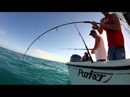
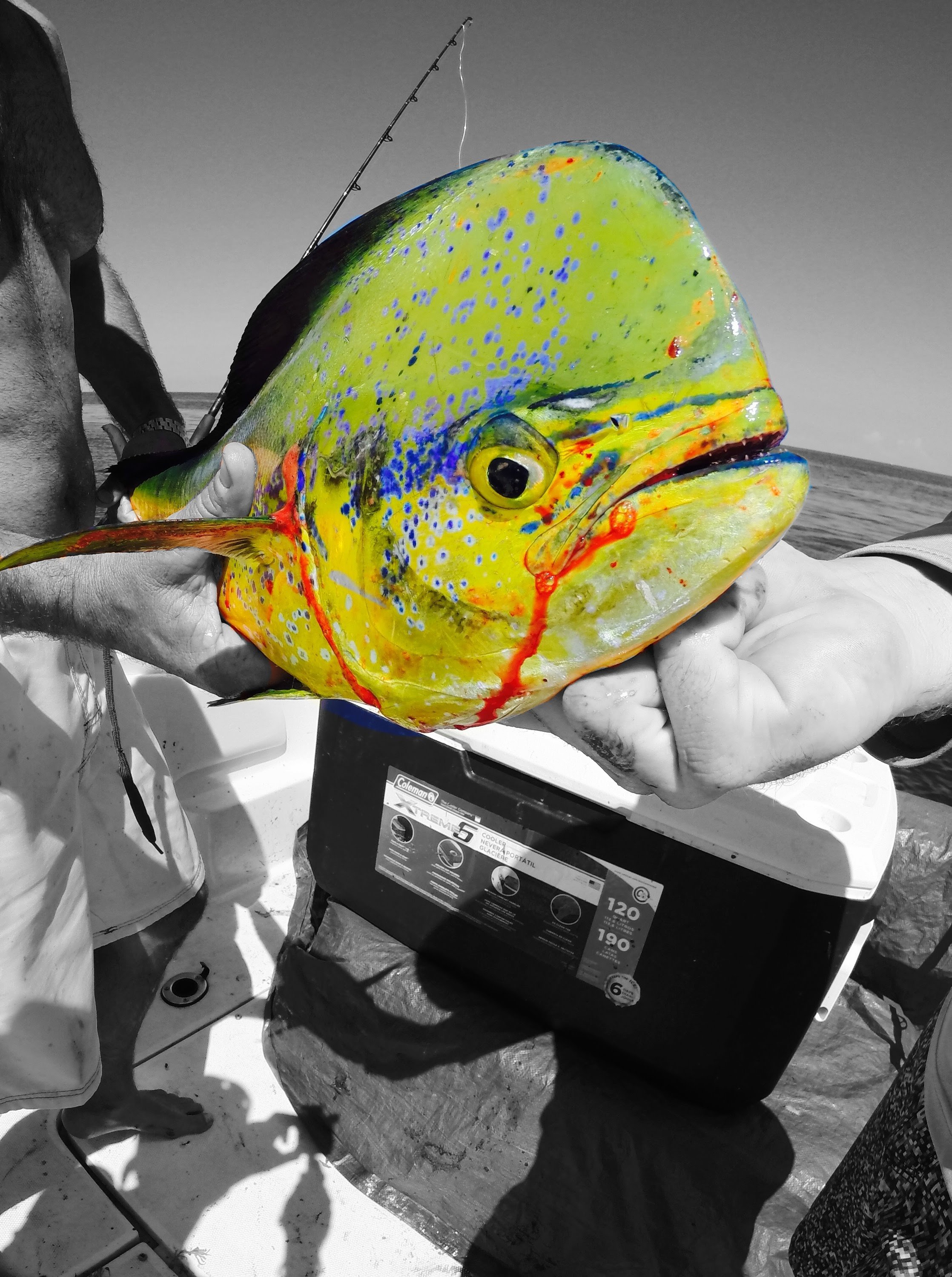
- The only fishing allowed is trolling for pelagic fish species such as billfish, dolphin, mackerel and tuna.
- No shark bottom longline gear allowed.
- No fishing for or possession of any snapper grouper species.
- Any fishing vessels traveling through the MPA, must have their fishing gear properly stowed.
Make sure to keep up with current rules and regulations for any local area you plan to fish or dive.

