Great structure for fishing and diving off of Marco Island, FL can be sparse. The DOD, Air Force Relay Tower Reefs are great places to spend the day in the Gulf of Mexico. The network of 7 massive towers provide excellent artificial reef structures throughout the entire water column.
Read on for GPS coordinates and more information.
Video: Spearfishing the D-Tower
The video shows spearfishing the shallowest of the towers. This one is approximately 25 to 30 feet deep. However, as you will see in the video, the vertical reef structure holds a wide assortment of fish species.
DoD Towers GPS Coordinates
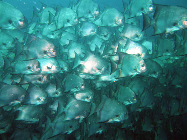
The Department of Defense Air Force Relay Tower Reefs are spread out and nestled into the pocket of the Gulf of Mexico situated in the triangle outlined by Marco Island, Everglades City, Key West, Florida Keys and the Dry Tortugas. These vertical surface to bottom man-made artificial reef structures attract a wide variety of fish species and marine life. The entire food chain can be represented on any given day.
Use these GPS coordinate numbers and Lat/Lon waypoints to fine tune exact numbers for your plotter or GPS unit. However, once you get close, you will be able to see them from a distance. They stick way out of the water.
D Tower: 25 34.0’N, 81 43.0’W
Depth: ~ 28 ft
L Tower: 25 22.03’N, 82 27.9’W
Depth: ~ 100 ft
The L-tower sits approx. 4 miles south of the Wreck – Baja California.
P Tower: 25 07.0’N, 82 00.0’W
Depth: ~ 65 ft
R Tower: 25 28.0’N, 82.06.11’W
Depth: ~ 65 ft
S Tower: 25 02.0’N, 82 22.0’W
Depth: ~ 80 ft
T Tower: 25 48.0’N, 82 13.0’W
Depth: ~ 65 ft
W Tower: 24 56.0’N, 82 43.0’W
Depth: ~ 120 ft
The Department of Defense maintains these towers in the SE Gulf of Mexico, but does not seem to mind that fishermen and divers frequent these man-made vertical locations. Be sure to always practice safe boating and scuba diving protocol.
Enjoy.

